
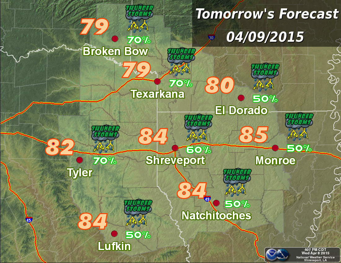
Severe Weather Forecast for Thursday and Much of Next Week
According to the National Weather Service a cold font moving into the area during the evening hours Thursday will provide the focus for strong to severe thunderstorm development.
Thunderstorms that develop will have a good potential for producing very strong to damaging wind gusts in excess of 70 MPH, large hail at least golf ball size, and deadly lightning strikes
Although an isolated tornado can not be ruled out at this time it appears the best chance of a tornado remains well north of the Texarkana area
According to the NWS a large slow moving upper low pressure system will continue to bring the potential for thunderstorms and severe weather through much of next week as well.