

Throwback Thursday: The WWII ‘Big Inch’ Oil Pipeline That Crossed the Red River at Garland
In 1942, crews laid the Big Inch, then the biggest oil pipeline ever built, through southern Miller County and across the Red River near Garland. Here's the route, the Hope boom and John Vachon's photos of the men who built it.

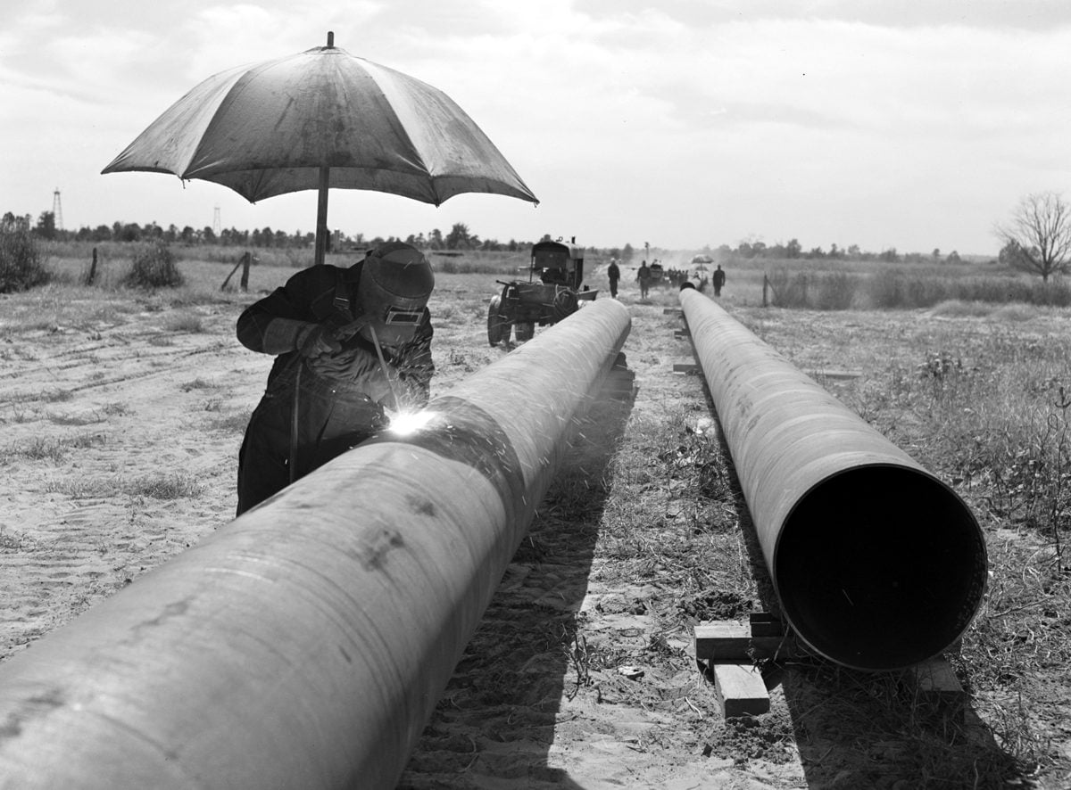
In the fall of 1942, crews cut a 75-foot path through the woods of southern Miller County and laid what was then the biggest oil pipeline ever built. They called it the Big Inch: 24-inch steel pipe that carried Texas crude from Longview to Illinois, and later on to Pennsylvania and New Jersey, so the oil didn’t have to go by sea.
German U-boats were sinking tankers off the East Coast so fast that spring that the Navy pulled them off the route. The federal government’s answer was to move the oil overland. Rep. Oren Harris, D-Ark., told Congress that July that more than 60% of the first leg, Longview to southern Illinois, would be laid in Arkansas.
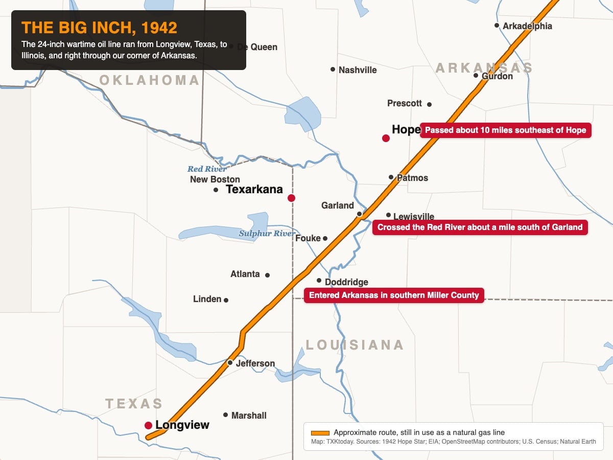
The route through Miller County
The Hope Star laid out the route on July 7, 1942. The line entered Arkansas about five miles north of the state’s southwest corner, ran northeast through Miller County, crossed the Red River about a mile south of Garland, then cut through Lafayette County and the southeast corner of Hempstead County, probably near Patmos, before heading on through Nevada, Clark, Dallas, Hot Spring, Grant, Saline and Pulaski counties toward Little Rock. Its closest pass to Texarkana was a few miles southeast of Fouke.
That same day, Rep. Clyde Ellis, D-Ark., listed six planned pumping stations in Arkansas. The first was at Bright Star in Miller County. The station plan changed as the line was built, and the stations that went into service were numbered from Longview: No. 2 at Atlanta, Texas, No. 3 at Hope and No. 4 at Donaldson in Hot Spring County. The Hope Star reported that the station for this area would sit about eight miles southeast of Prescott, in the Mount Moriah, Cale and Rosston area.
Nine miles a day
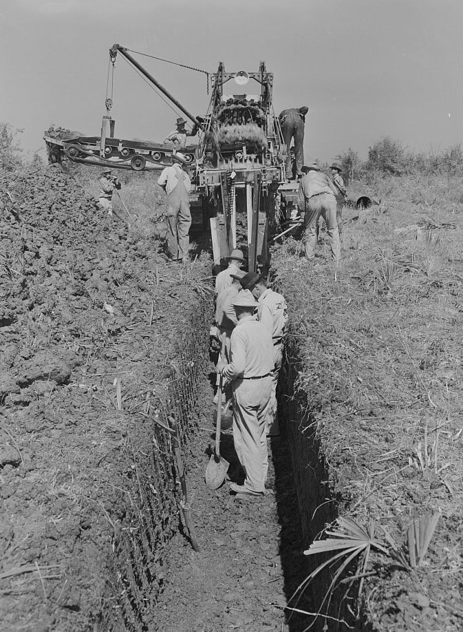
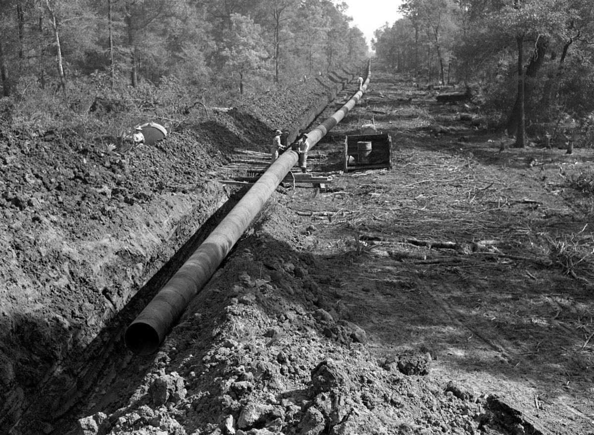
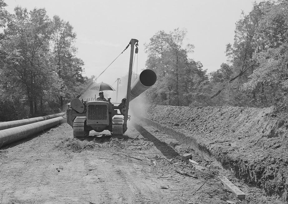
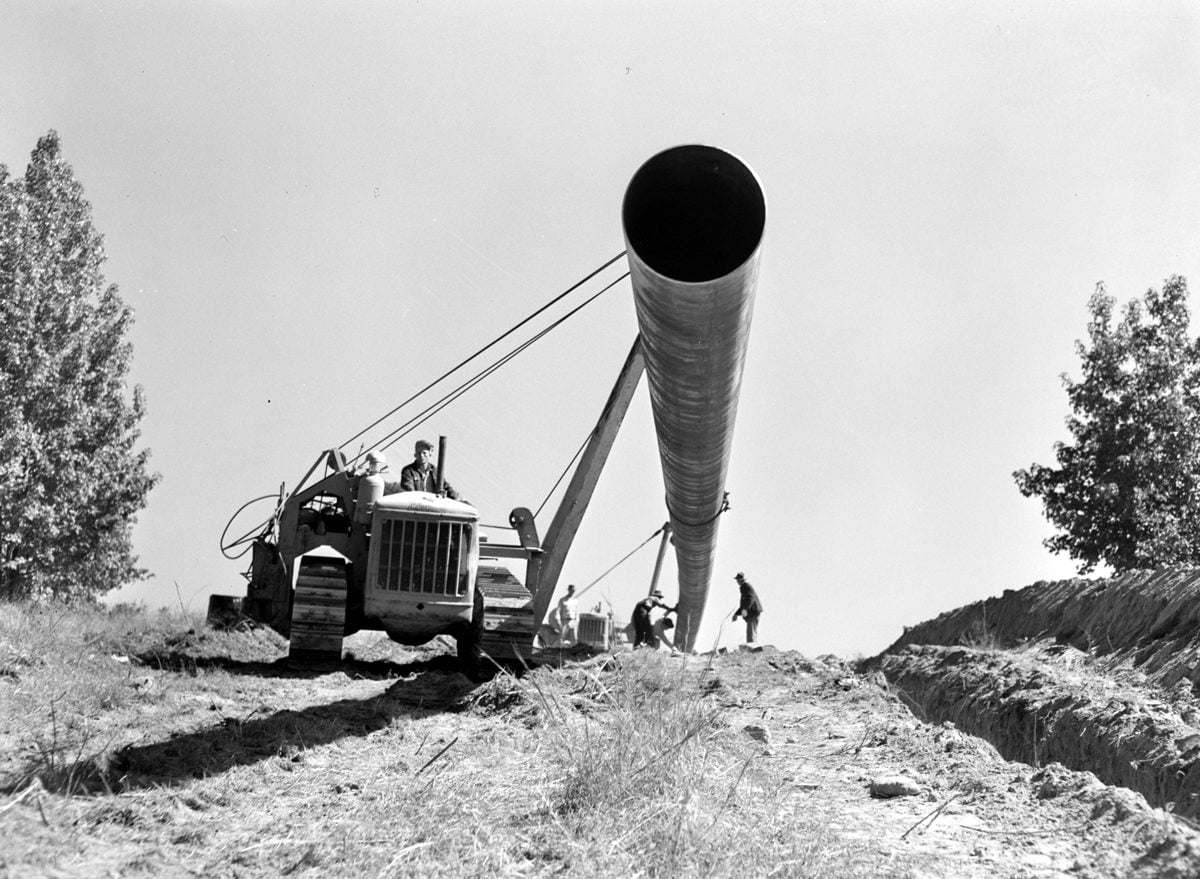
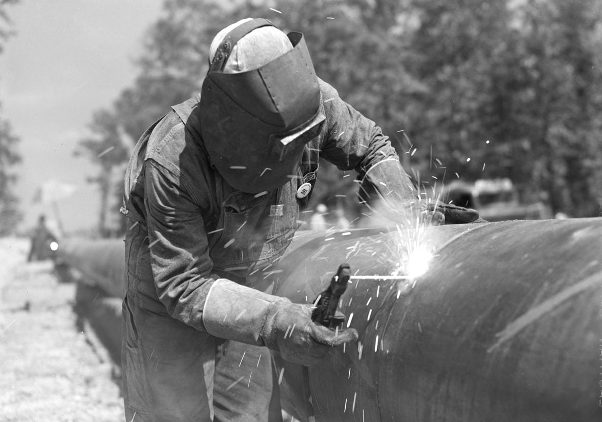
Work started Aug. 3, 1942. By September, eight crews of 300 to 400 men were in the field, laying as much as nine miles of pipe a day between them. Ditching machines cut the trench, crews primed the pipe with hot asphalt and wrapped it in felt, and welders on the “firing line” joined sections beside the ditch before tractors lowered them in.
Article continues below
▼ Continue reading
The work changed Hope almost overnight. That October, Dempsey Construction opened a Hope office with a $30,000-a-week payroll and asked the Chamber of Commerce to find 25 or 30 furnished houses for its workers, in a town already packed with employees of the new Southwestern Proving Ground.
The photographer who followed the crews
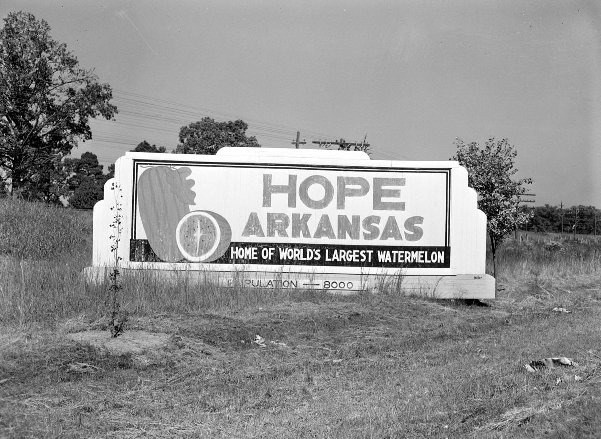
John Vachon, a photographer for the federal Office of War Information, followed the crews that October. He shot more than 100 pictures between Longview and the state line and between the state line and Gurdon, plus the city-limits sign outside Hope. The Library of Congress holds them today, and they’re free to use.
Oil, a flood and a second line
Oil started into the line at Longview on Dec. 31, 1942, and reached Norris City, Ill., in February 1943. In April, the state approved contracts for Arkansas Power & Light to power four of the line’s pumping stations, near Hope, Malvern, Bald Knob and North Little Rock.
That May, the Arkansas River flood broke the Big Inch. The first sign was a drop in pressure at a testing station north of the river. A Civil Air Patrol plane took off and found the oil slick within 15 minutes, the Hope Star reported.
A second line, the 20-inch Little Big Inch, followed in 1943 to carry gasoline. It ran from Beaumont to a point near Little Rock, then shared the Big Inch’s path east. The final weld on the Big Inch was made at Phoenixville, Pa., on July 19, 1943. All told, the line stretched about 1,254 miles and moved up to 300,000 barrels of crude a day.
Still in the ground
After the war, Texas Eastern Transmission bought both lines in 1947 for about $143 million and converted them to natural gas. The Big Inch still carries gas today as part of Texas Eastern, now owned by Enbridge, through the same Miller County woods. Texas Eastern still runs a compressor station at Donaldson in Hot Spring County, the site of the line’s original No. 4 station, and in August 2025 it asked federal regulators for permission to shut that station down.
Photo gallery: Building the Big Inch, 1942
Tap any photo to open it full size, then use the arrows to page through.
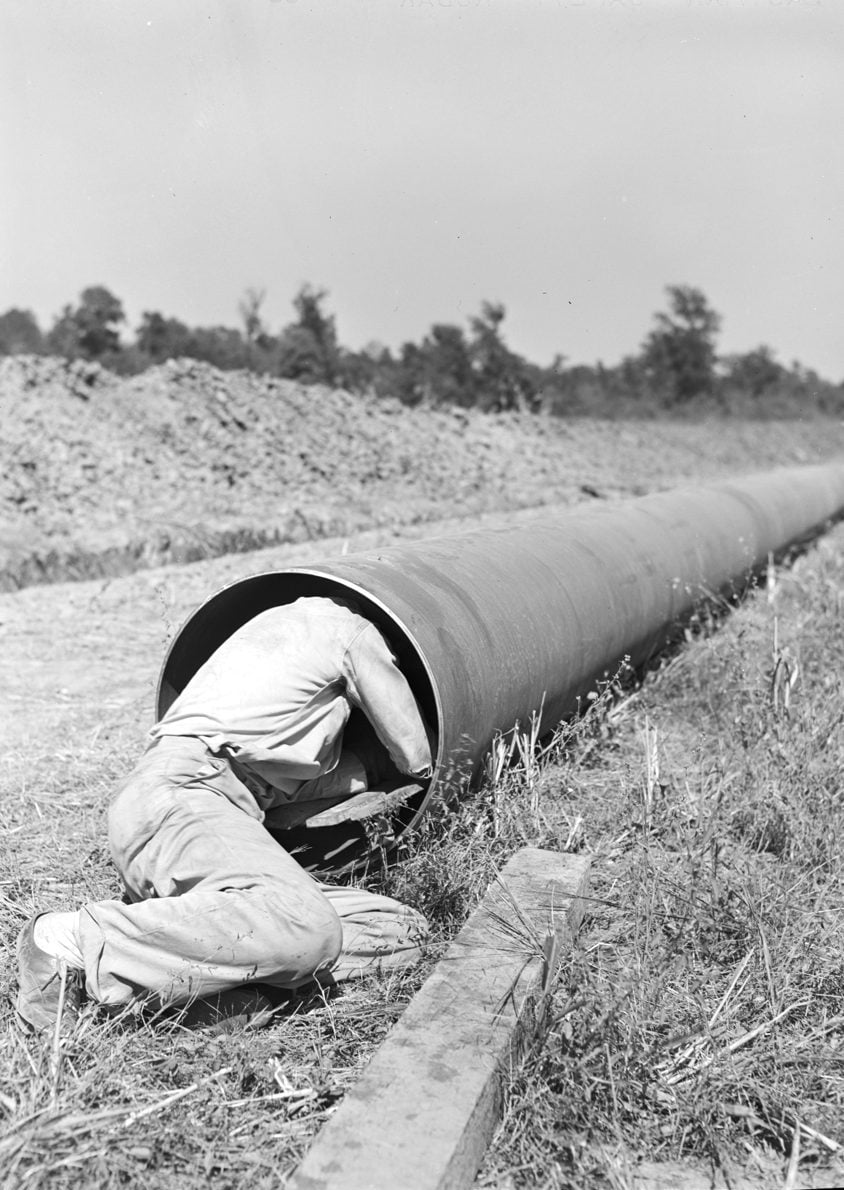
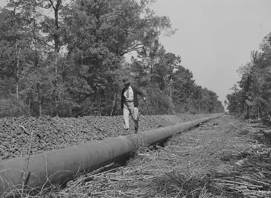
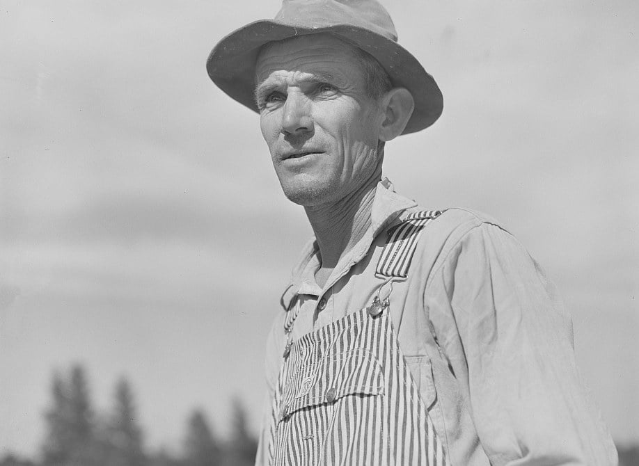
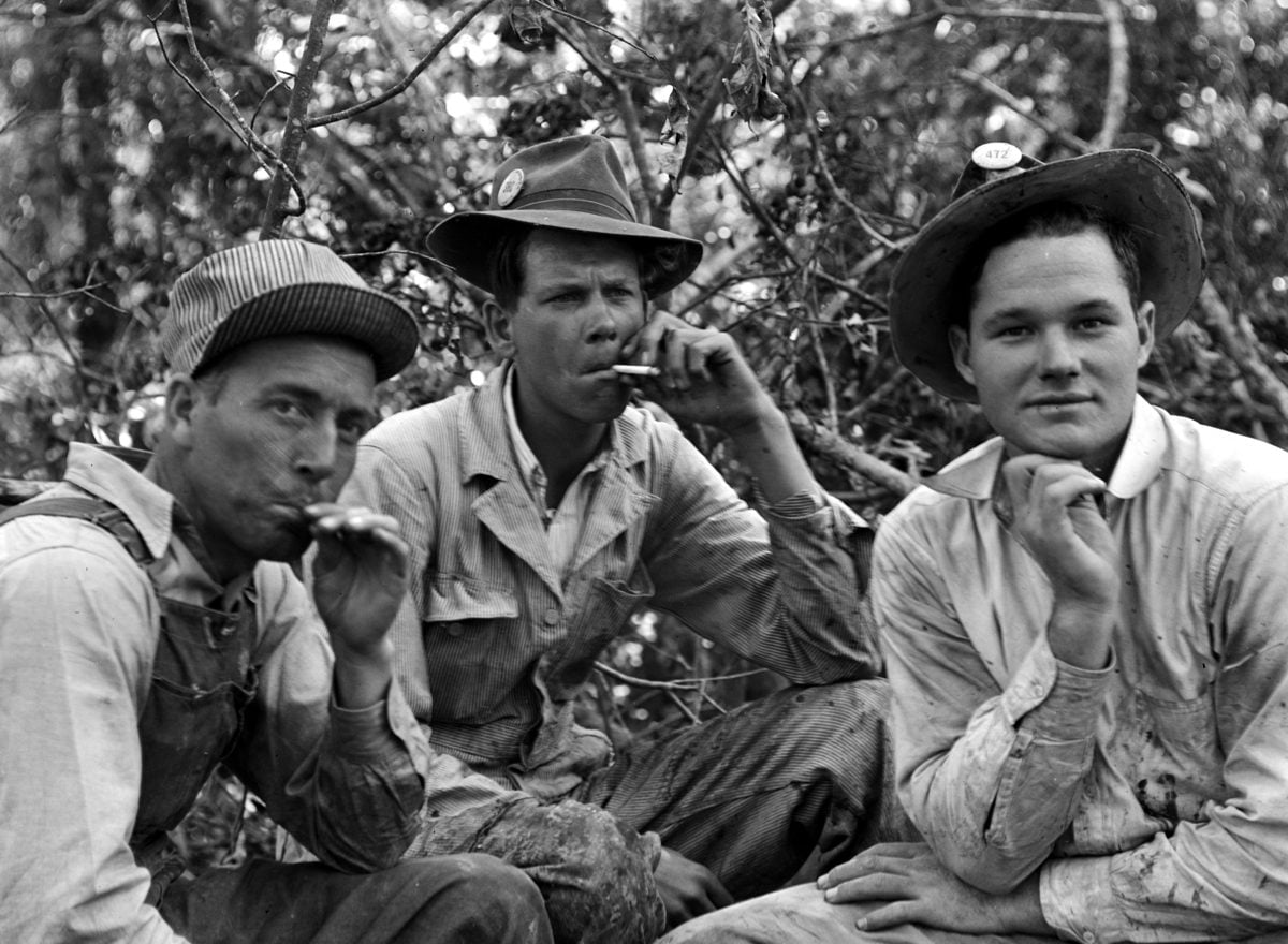
Sources: Hope Star (July 2 and 7, Oct. 6 and Dec. 21, 1942; April 14 and May 18, 1943), via the Internet Archive; Historic American Engineering Record, “Big Inch and Little Big Inch Pipelines” (HAER TX-76); Texas Eastern Transmission history; Federal Register. Photos by John Vachon, Office of War Information, Library of Congress. Map by TXKtoday, an approximate route drawn from the 1942 Hope Star, U.S. Energy Information Administration and OpenStreetMap data.
See all of Vachon’s pipeline photos at the Library of Congress.